Geographic Information Systems or GIS are a useful tool for utilities to capital plan and correlate data points in a visual way. With location intelligence, we can rebuild advanced utility model in water resources and create a more resilient and promising future. The system includes a variety of components for water delivery, water conservation, water quality and more.
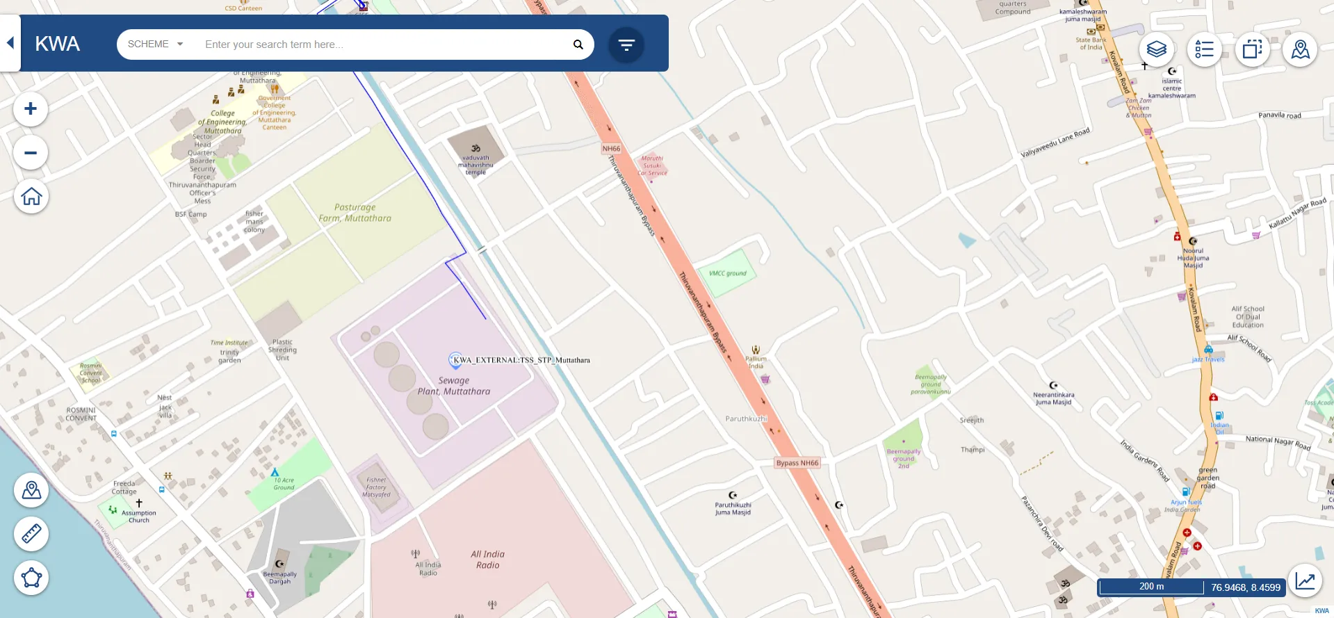
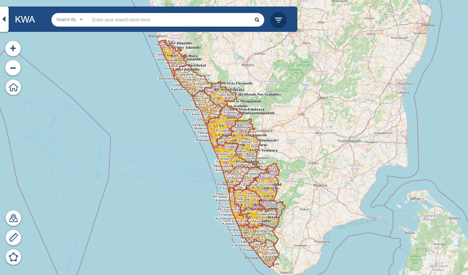
It provides an extensive data repository and mapping capabilities to visualize, analyze, and communicate results. It enables businesses, utilities, and local governments to identify, assess, and manage their water resources with greater efficiency. The system also offers a range of services including dynamic data viewing, water demand forecasting and management, data visualization, water outage monitoring and analytics, optimization, and policy/decision support.